Our Story
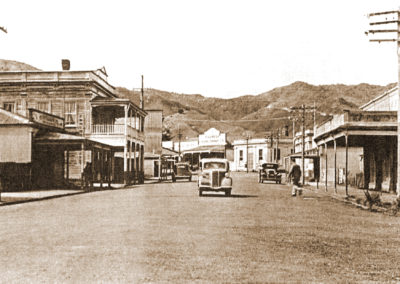
Coromandel town and surrounds is known for its cultural and historical significance as well as for the vibrant creative people who have settled here. A gold strike in the late 1860s saw the town’s population shoot up to 10,000. Although the serious mining days are over, the town has retained much of its charm from these early days.
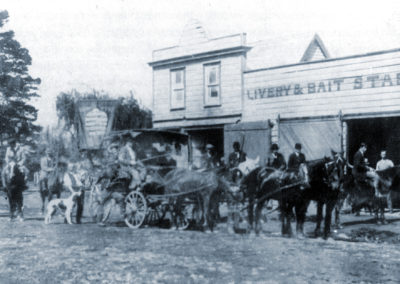
With early beginnings as a wild colonial gold rush settlement, our town is full of history from New Zealand’s early gold mining and logging days. However, Coromandel has not only been the site of first landfall for European explorers, but also for Polynesian navigators who arrived to our shores much earlier. Our region is unique in that it is very rich both in European and Maori heritage.
Heritage Activities:
Boom, Bust and Beyond
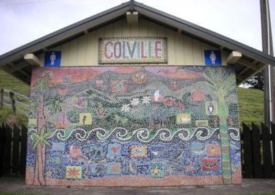
Colville Cemetery and Maori Fish Trap
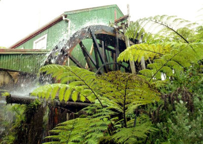
Coromandel Gold Stamper Battery
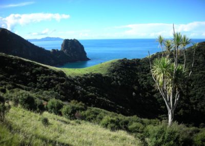
Coromandel Walkway and Mountain Bike Track
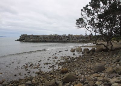
Fantail Bay and Paritu Granite Wharf
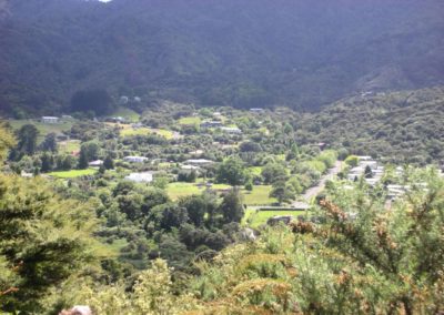
Harray Track
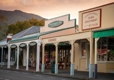
Historic Town Centre
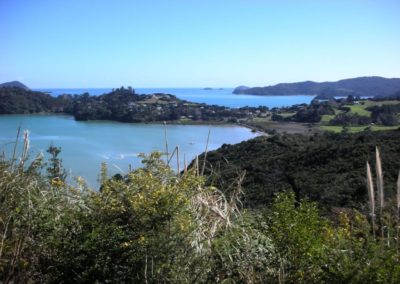
Kauri Block Track
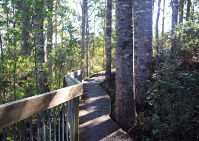
Long Bay Kauri Walk
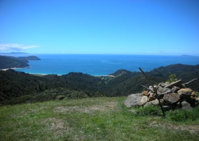
Matamataharakeke Walking Track
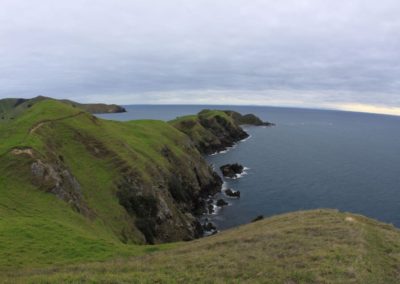
Muriwai Walk
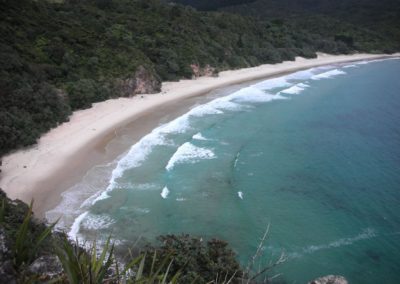
New Chums Beach Walk (Wainuiototo)
Read About Our Story:
(click toggle to expand or close item)
Local Tribes
Te Patukirikiri are the tangata whenua (local tribe) of Coromandel. Ngāti Whanaunga and Ngāti Pāoa share that status in the wider area.
Kauri Trees
Kauri have been around long before humans, about 20 million years.
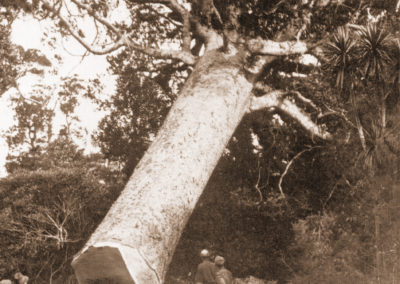
Kauri have had a large part to play not just in the landscape of Aotearoa, but also in our culture, and early history. In a Māori context, kauri are seen as kings of the forest and a taonga (treasure) that connect people and their spiritual world. Kauri played an important role in many aspects of early Māori culture: besides being integrated into creation mythology, rituals, war, art and everyday life, some large trees were given names and revered as chiefs of the forest.
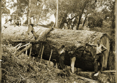
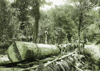
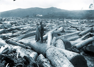
Kauri were prized too by the early European settlers, who felled almost all of the great kauri giants. The timber was valued for its strength and ability to withstand sea-water conditions, ideal for ship masts and hulls.
The almost complete removal as a timber resource over a very short period of time in the relatively recent past had a significant impact on our region’s ecology. On a national scale less than half a percent of all trees are left.
Incidentally, our town as well as the Peninsula, were named after the ship H.M.S Coromandel, which called here in 1820 to collect kauri logs to make spars for the British Royal Navy.
Mining
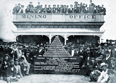
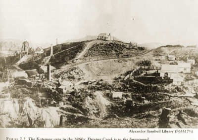
Miners flocked to Coromandel in 1852 and 1862 but, failing to find alluvial gold, soon left. Investment by mining companies from 1868 meant quartz reefs could be mined, so returns improved and the town stabilised. The population was 1,174 in 1874.
Many fine colonial buildings, like the government buildings (1873), have survived. The Coromandel Goldfield Centre and Stamper Battery and the Coromandel School of Mines and Historical Museum are both located in heritage buildings.
20th century
Gold mining and logging both declined after 1900. Land was farmed and a dairy factory opened in 1911.
The shallow harbour meant the old wharf could only be used at high tide and was expensive to maintain. The decline in coastal shipping and poor roading left farmers isolated.
Coromandel began to grow again in the 1960s, if slowly. Its old-world charm, relative isolation and cheap real estate attracted retired people, artists and ‘alternative lifestylers’. Hannafords Jetty, in deep water at nearby Te Kouma, is now used by tourist ferries.
The closure of Coromandel Hospital in 1994 – as part of government health reforms – was a blow to the town. Built of heart kauri in 1898, it is the town’s finest colonial building. It is now the site of Patukirikiri marae.
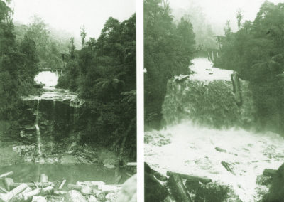
Driving Creek Railway and Potteries, on the road to Kennedy Bay, was developed by potter Barry Brickell, and is open to visitors. The creek takes its name from the driving of kauri logs by the force of water released from dams, down to the harbour for shipping.
Fishing
The fishing fleet peaked at about 25 boats in the early 1980s when Coromandel wharf was landing the second-largest catch of snapper in New Zealand. The introduction of a New Zealand-wide quota system in 1986 restricted total volume according to catch history and also allowed trading of quotas, so many Coromandel fishers either leased or sold their quotas and the Coromandel fish catch was greatly reduced.
Many turned to mussel and oyster farming as sustainable alternatives. Both are sold fresh; larger volumes of mussels are processed at a plant in Tauranga. Oysters are smoked locally.
Tokatea
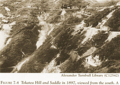
Mining settlement, now a ghost town, on a 400-metre-high ridge. Tokatea thrived in the early 1870s. It is located near the summit of the Coromandel to Kennedy Bay road. Disused mine shafts and other relics of the mining days are common. A 30-minute track from the road reaches a lookout where marine surveillance took place during the Second World War.
Manaia
Manaia, 10 km south of Coromandel town, was gifted by Ngāti Maru to Ngāti Pukenga in recognition of assistance rendered by that Bay of Plenty tribe during the ‘musket wars’. This is one of the few large Māori-owned areas in Hauraki.
Manaia is the largest Māori community on the peninsula north of Thames. The people are of Ngāti Pūkenga, Ngāti Whanaunga and Ngāti Maru tribes. The marae is Te Kou o Rehua.
Manaia was a rich resource area: ‘Ko Manaia, he pataka kai’ (Manaia the food store). Fishing and mussel farming employ locals. Mangrove extension and siltation are problems in Manaia Harbour, as in most other estuarine harbours of the peninsula.
The Manaia Forest Sanctuary, which contains 400 kauri trees, was established in 1972 after local protest against planned logging. It is now completely protected and can not be visited.
Kennedy Bay (Harataunga)
The bay bears the name of John Kennedy, a timber merchant who was robbed and murdered by ex-convicts in 1843.
In 1852 Ngāti Tamaterā of Hauraki gifted land at Harataunga to Ngāti Porou. The main reason was to give the East Coast tribe a stopover place on trading voyages to Auckland. Also, the great ancestor of Ngāti Porou, Paikea, made landfall at Ahuahu (Great Mercury Island) from Hawaiki, and is said to have left descendants at Harataunga. This gift was later recognised by the Native Land Court.
Harataunga is the largest area of Māori land in Hauraki. It continues to provide an economic base for a vital Māori community. The school dates from 1894. A new wharenui (meeting house), carved by the late Pakariki Harrison, opened in 1996.
main source and read more: https://teara.govt.nz/en/hauraki-coromandel-places
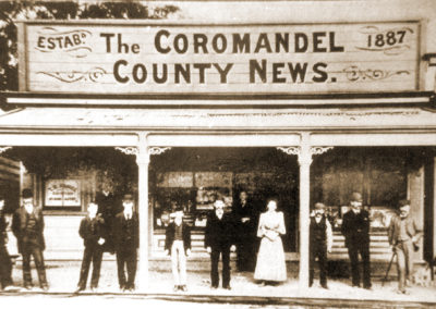
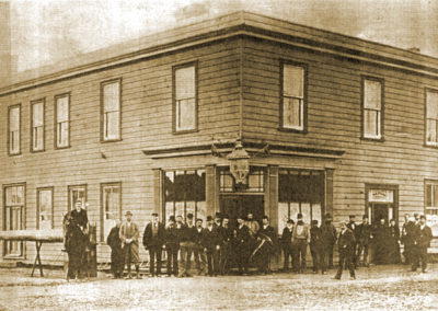
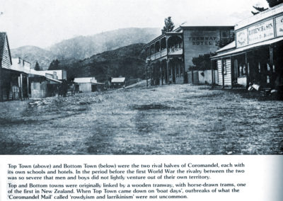
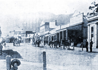
View Heritage Gallery:
(click any image to expand / view gallery)
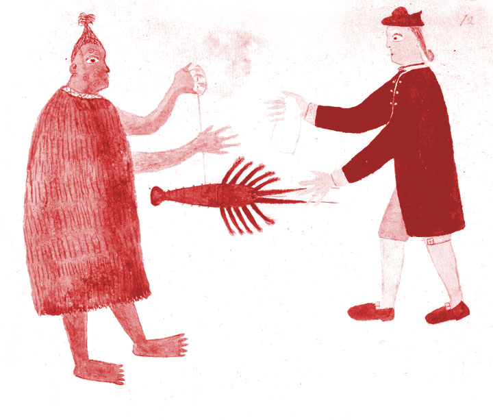
Discover Coromandel Town and some of our heritage treasures in this early gold mining town
GUIDED WALKING TOUR
with local experts
You will learn about:
> Tangata Whenua
> Kauri Forest Logging
> Kauri Gum Digging
> Boom & Bust years of the Gold Rush
> The Great Fire in 1895
> fascinating stories of the days of old


