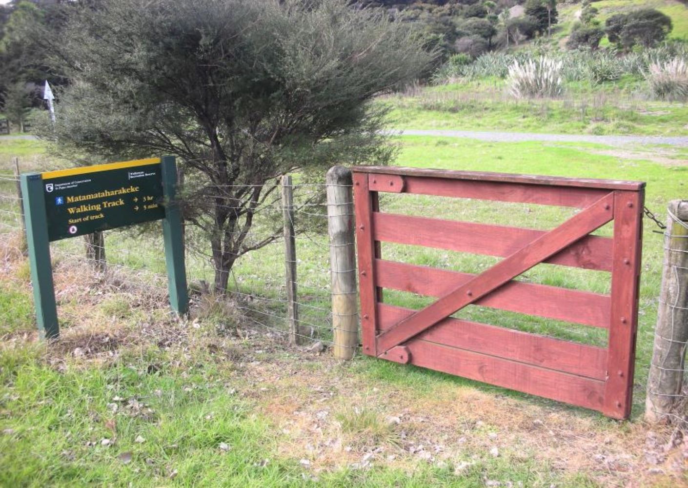
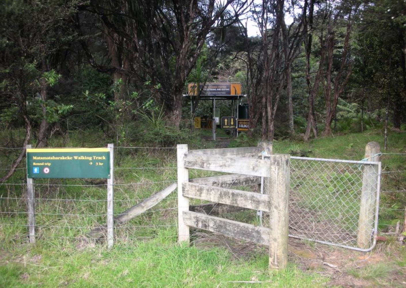
Matamataharakeke Walking Track
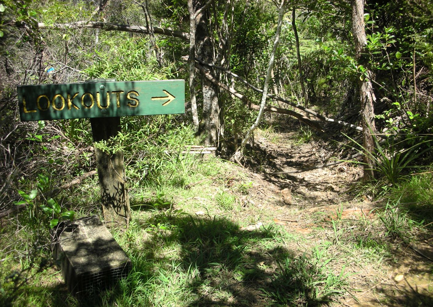
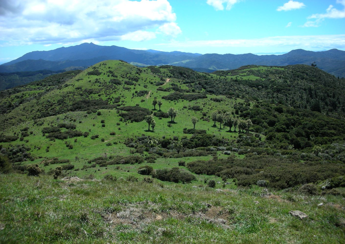
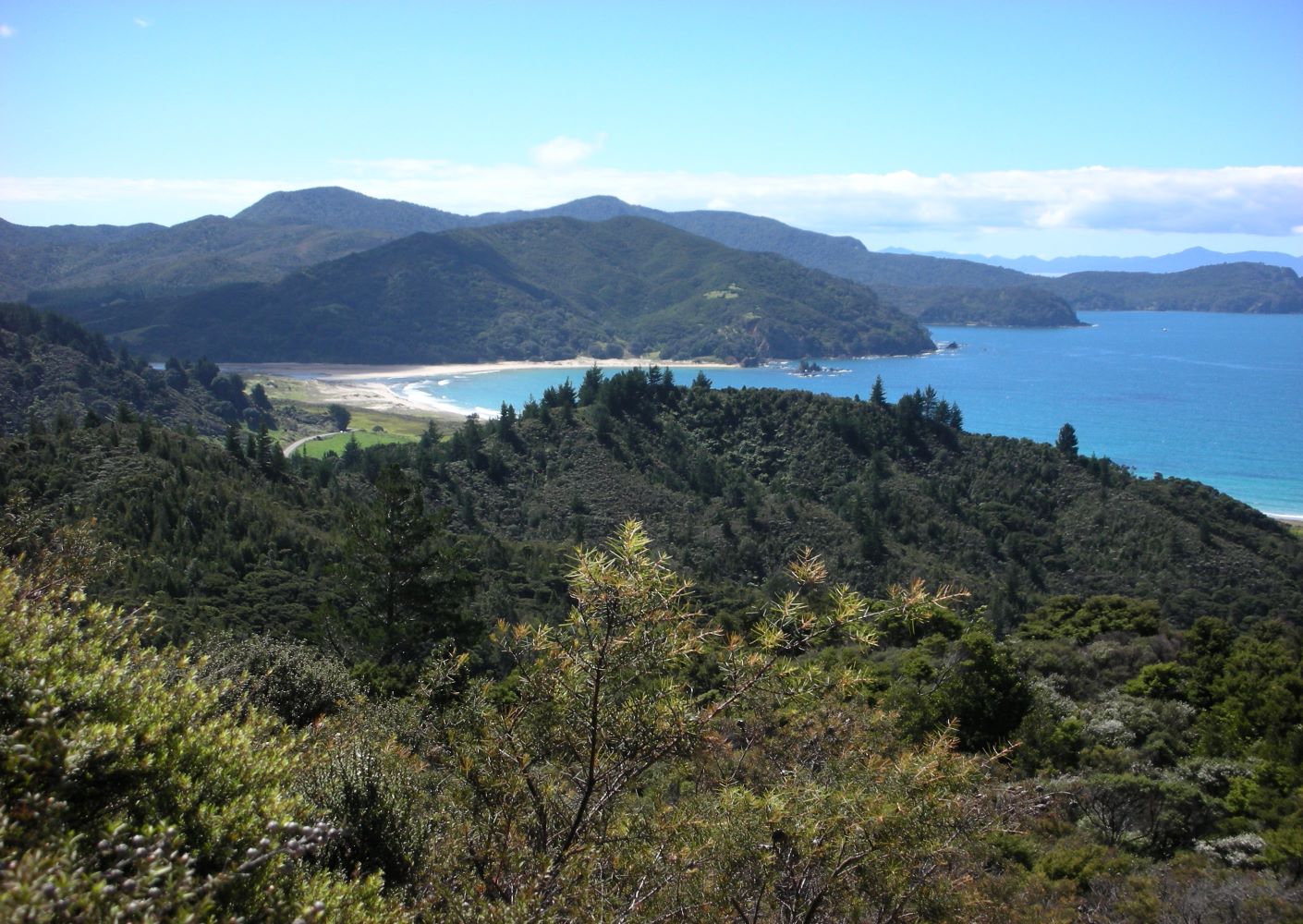
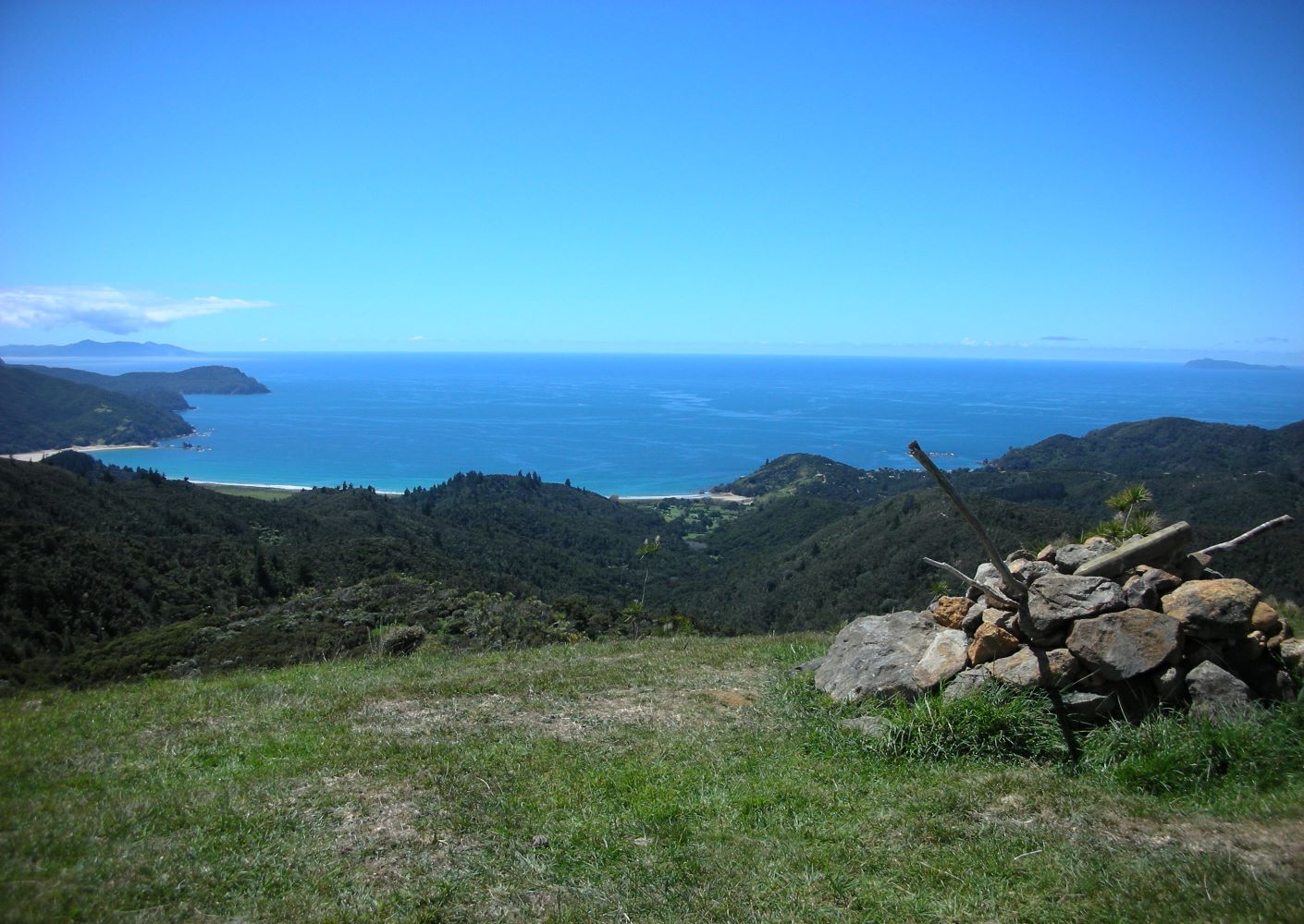
This mostly shaded track is part of the original Waikawau to Kennedy Bay route used by goldminers and loggers. It goes up the main ridge past a series of lookouts with views over bush-covered hills, coastline and islands.
- track category: Advanced
- track length: 6.5-km loop, plus 1-km return from carpark
- walking time: 3-hr return
- track start location: see map below
- km from town: from 30 to 40 km, depending on route taken
-Track Description: 45 Waikawau Beach Rd, Waikawau – 30-40 km/50 min northeast of town, partly on gravel (no dogs) – 3-hr/6.5-km loop.
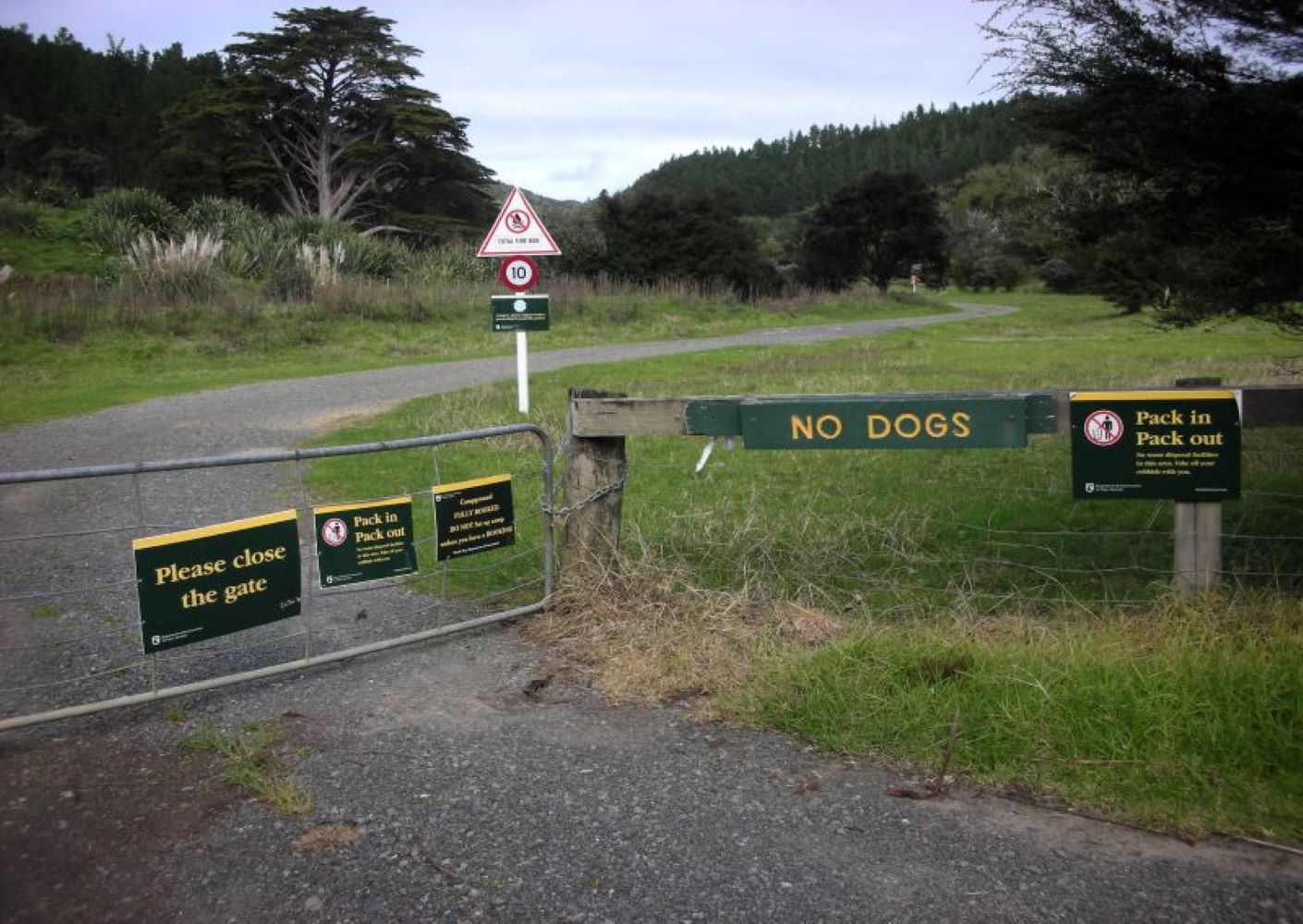
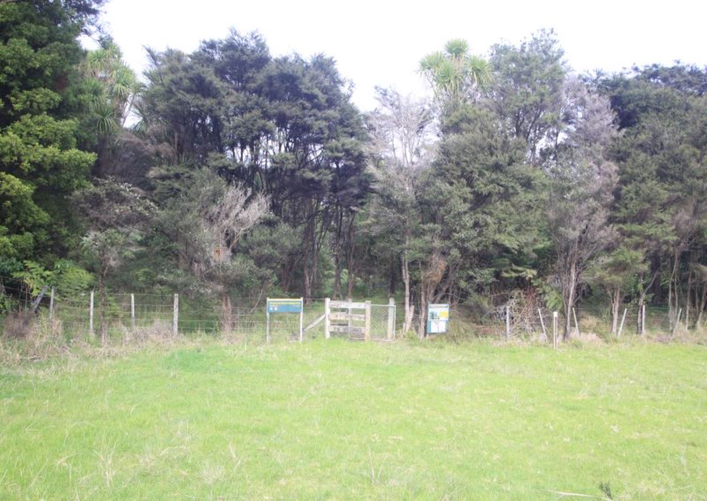
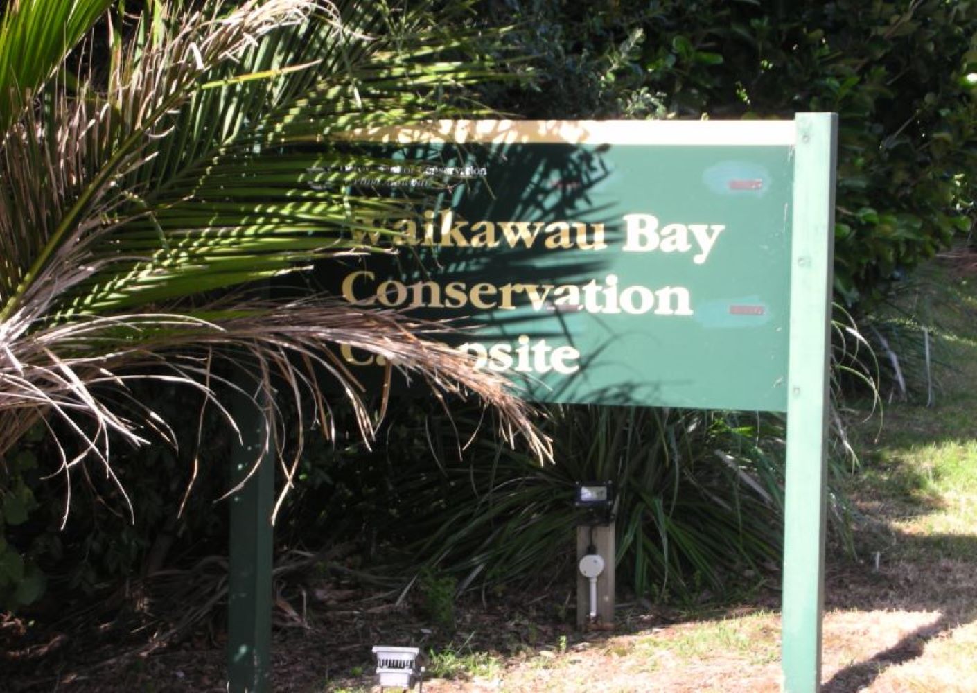
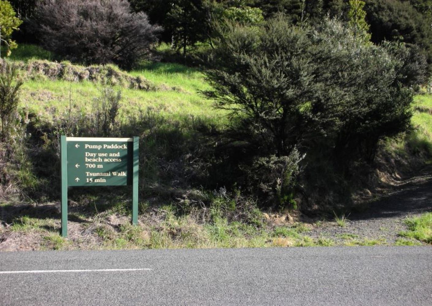
Begin across from the pump paddock carpark that’s 700m south of Waikawau Bay Conservation Campsite. Walk through the access gate and continue for 5 min through Matamataharakeke Camp to the track’s start at rear of campground.
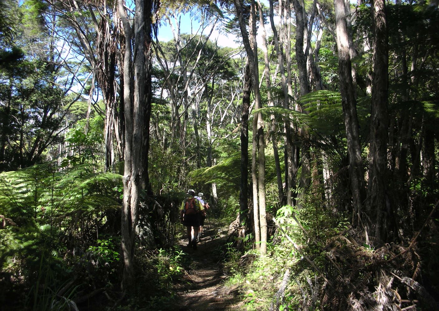
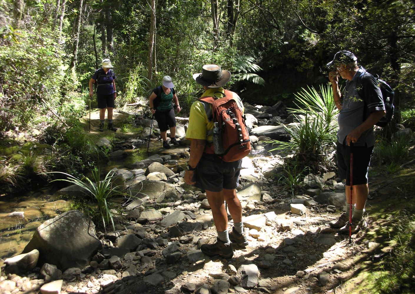
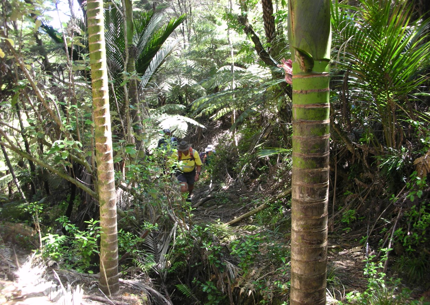
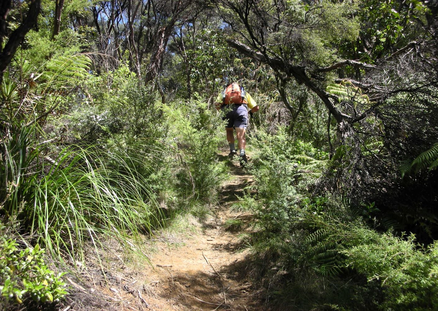
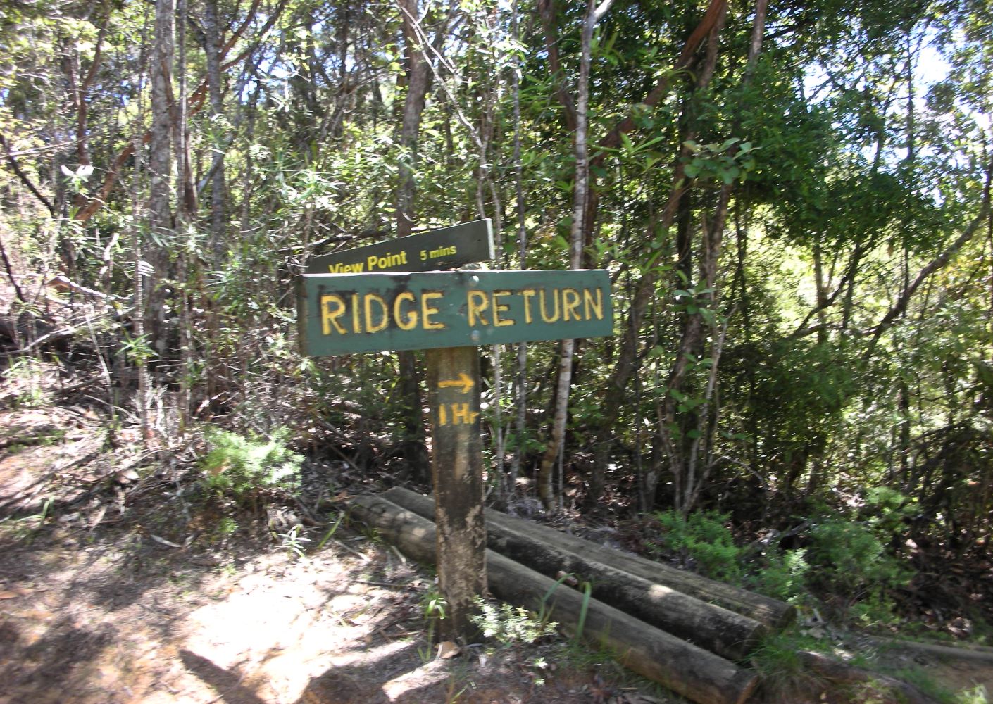
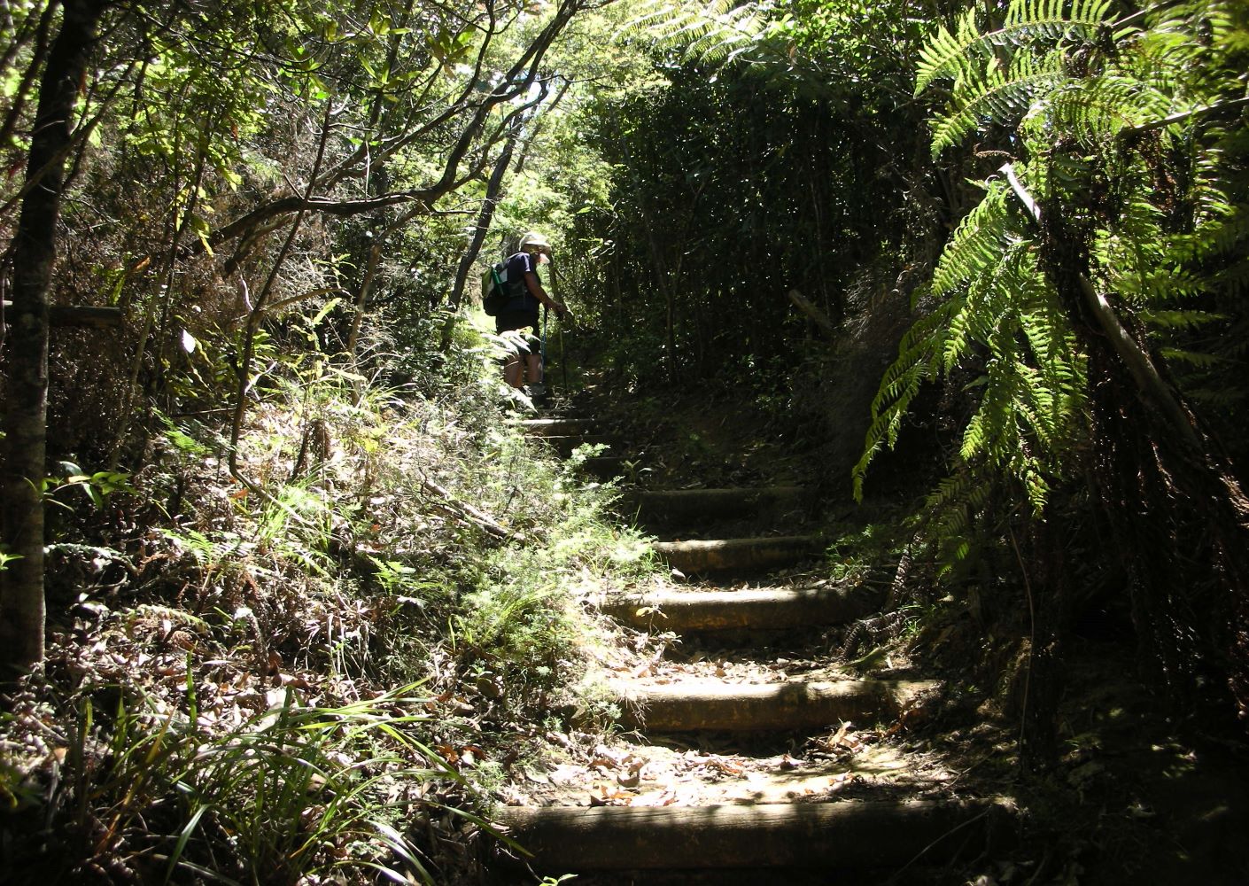
The track is part of the original Waikawau to Kennedy Bay route used by goldminers and loggers. It goes up the main ridge past a series of lookouts with views over bush-covered hills, coastline and islands. You will have about a dozen stream crossings, from .5 to 2m wide, so be prepared for wet feet, rock-hopping, and wear sturdy shoes. After completing most of the stream crossings the track narrows, having been created by horse hooves, and there are a few places where large glazed pipes from the goldmining days can be found crossing the track. Done in a clockwise direction, you will then have a long downhill walk, sometimes with steps, toward the end of the walk. The clay track can be slippery if wet.
Clean your footwear on arrival and departure at the shoe-cleaning station to help prevent the spread of kauri dieback disease. Toilet in campground.
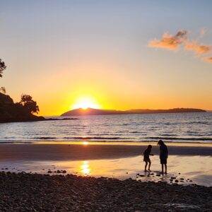
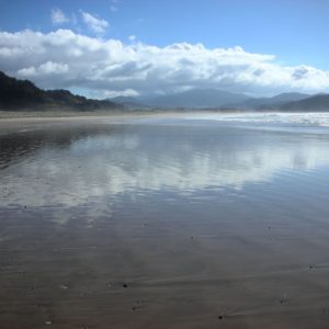
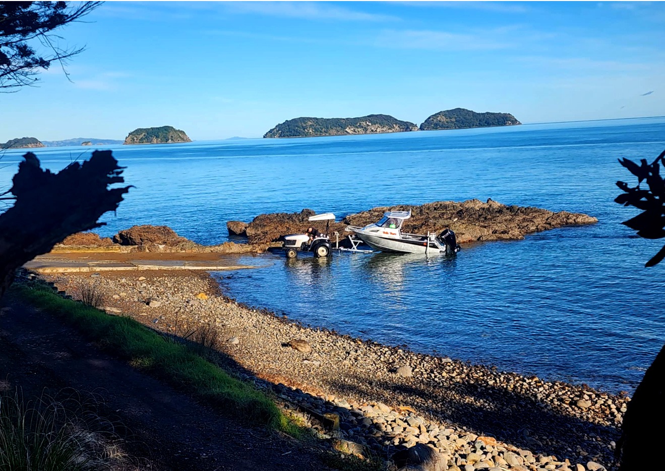
Other features at Waikawau include a lovely, 2.5-km sandy beach to walk following your bush walk. Day use access is from the carpark across from Matamataharakeke camp, where you can either walk or drive 300m down the access road toward the boat ramp. This beach also has shorebirds at the estuary at the north end.
You can also find the Children’s Forest at the north end of the bay, planted by Colville School children and Moehau Environment Group, who have done extensive pest management in the area; and the Tsunami Trail, a 10-min walk up an incline with young kauris and views over the bay, across from the camp entrance.
click any image to view slideshow
=
explore other things to do: