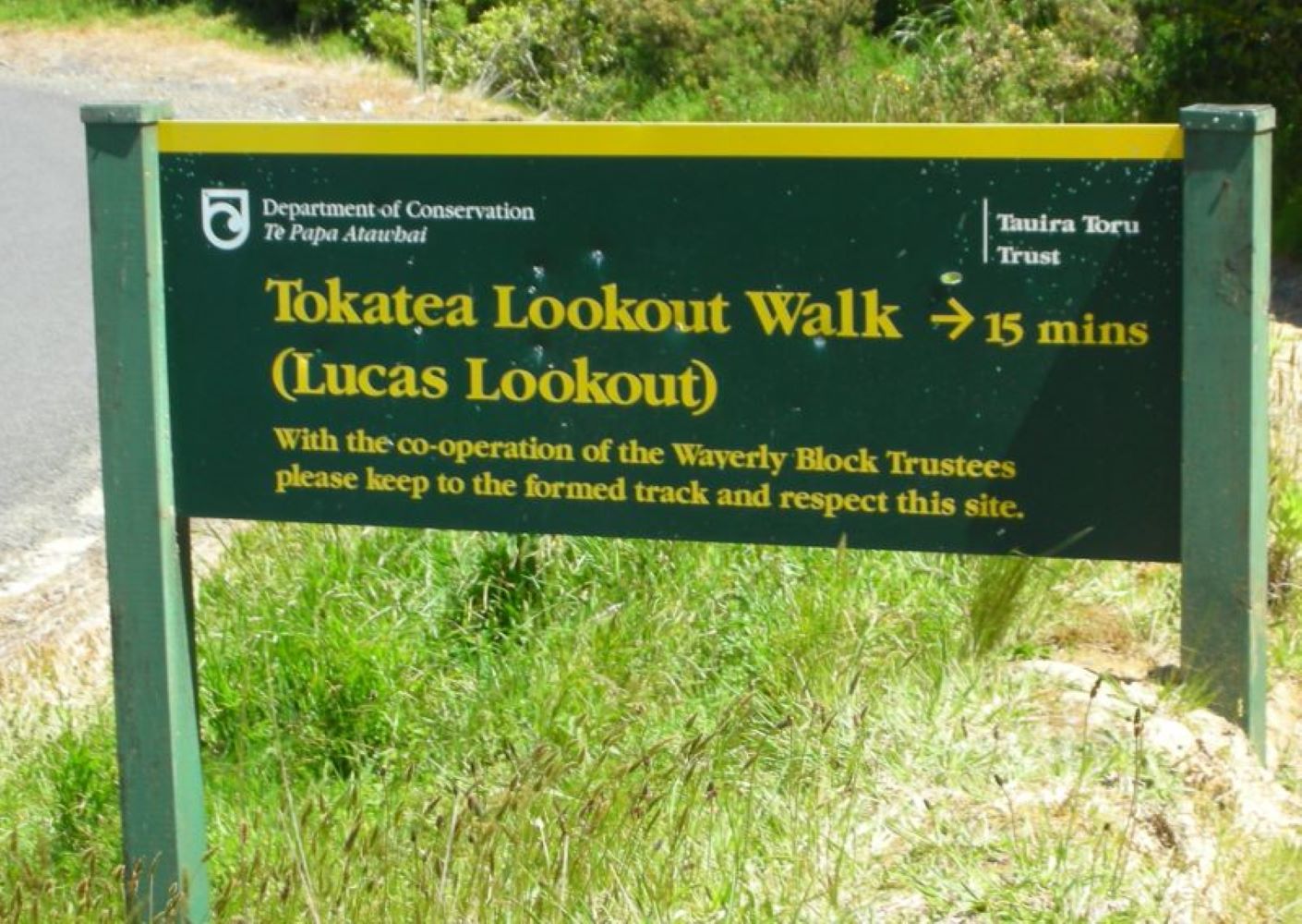
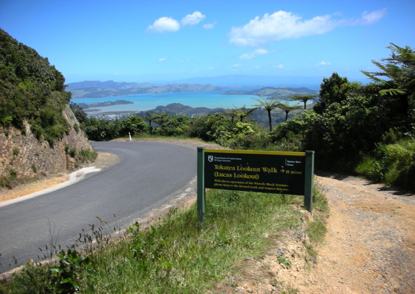
Tokatea Lookout Walk
Short, steep track with steps to lookout at the summit of Kennedy Bay Rd. On-site map names many landmarks and offshore islands; site was used for marine surveillance during WW2.
- track category: Easy
- track length: 600-m return
- walking time: 30-min return
- track start location: see map below
- km from town: 7km
Track Description: Park at the Kennedy Bay Rd summit; 7km northeast of town, briefly on gravel road (no dogs) – 30-min/600m return.
This is a short, steep track with steps to the lookout at the summit of Kennedy Bay Rd. An on-site map names many landmarks and offshore islands; site was used for marine surveillance during WW2. This is the site of the John H (Pop) Lucas memorial.
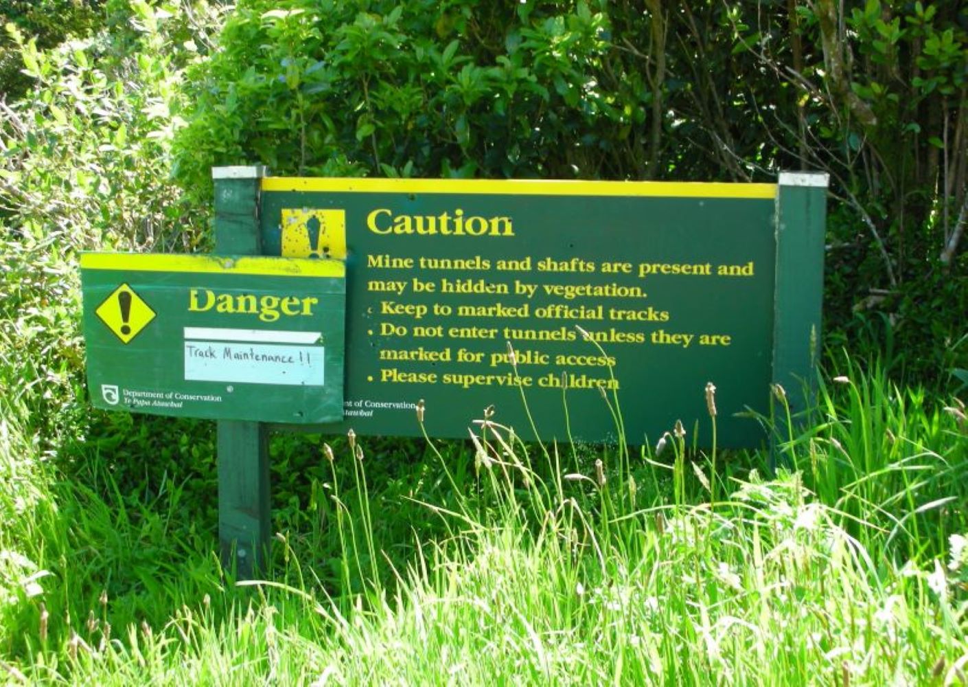
Take care to stick to the track to avoid abandoned mine shafts.
The north end of Kaipawa Trig Track may be accessed by walking up the cell phone tower service road that’s just across the main road from the carpark.
click any image to view slideshow

=
explore other things to do: